Message
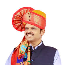
Shri. Devendra Fadnavis
Hon'ble Chief Minister

Shri. Eknath Shinde
Hon'ble Deputy Chief Minister
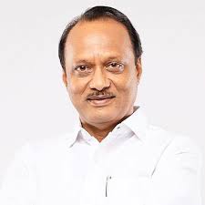
Shri. Ajit Pawar
Hon'ble Deputy Chief Minister
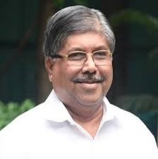
Shri. Chandrakant Patil
Hon'ble Guardian Minister Sangli
Office Bearers

Mr. Satyam Manju Akhilesh Gandhi - I.A.S
Commissioner of Municipal Corporation

Mr. Ravikant Adsul
Additional Commissioner - 1

Mr. Nilesh Deshmukh
Additional Commissioner - 2
Important Numbers
Municipal Corporation Sangli Office
0233-2373721, 0233-2373722 & 0233-2373723
Municipal Corporation Kupwad Office
0233-2346081
0233-2346612
Municipal Corporation Miraj Office
0233-2223271, 0233-2223272, 0233-2223273 & 0233-2223274
Main Fire Station, Sangli
0233-2373333 ,101 & 102
Miraj Fire-Brigade
0233-2222610
Water Supply
0233-2373971
Ambulance
0233-2373333
Police
100
Police Station
0233-2223333, 2223700,2212500
M.S.E.B.
0233-2374731
Wellness .Hosp Blood Bank
0233-2223291 /95
Disaster Management
7066040330
Fire Station, Station Chowk, Sangli
0233-2325612
Fire Station, MIDC, Miraj
0233-2643001
Follow us on Social Media
UNDERTAKING


